
Professional Services

Topographic Mapping
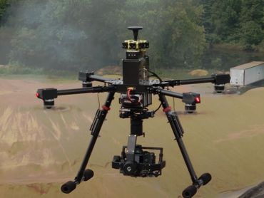
Providing commercial and residential topographic surveys, providing accurate and reliable mapping for your Engineering and Architect Teams. We use a combination of conventional ground survey using GPS or Robotics with additional tools such as our in house drones or our large scale aerial mapping partners. Deliverables include native AutoDesk Civil 3D files and other digital formats.

Construction Staking
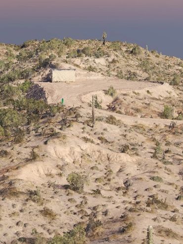
From custom homes to large scale commercial 82 Bravo has the experience and capabilities to adequately provide all aspects of construction staking and services including certifications and as-built surveys.

Arizona Boundary Surveys
Arizona Boundary Surveys
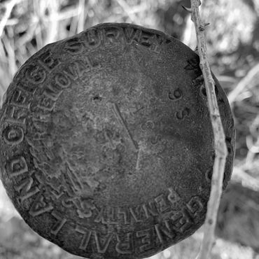
All aspects of boundary survey including, ALTA/NSPS Land Title Surveys, Minor Land Divisions, Subdivisions and Lot Combinations.


Contact Us
Send us a message, or call us for a quote. Use our contact form to tell us more about your project, and we will connect you with the services to fit your needs.
Hours
Monday - Friday: 8am - 5pm
Saturday - Sunday: Closed
This website uses cookies.
We use cookies to analyze website traffic and optimize your website experience. By accepting our use of cookies, your data will be aggregated with all other user data.
